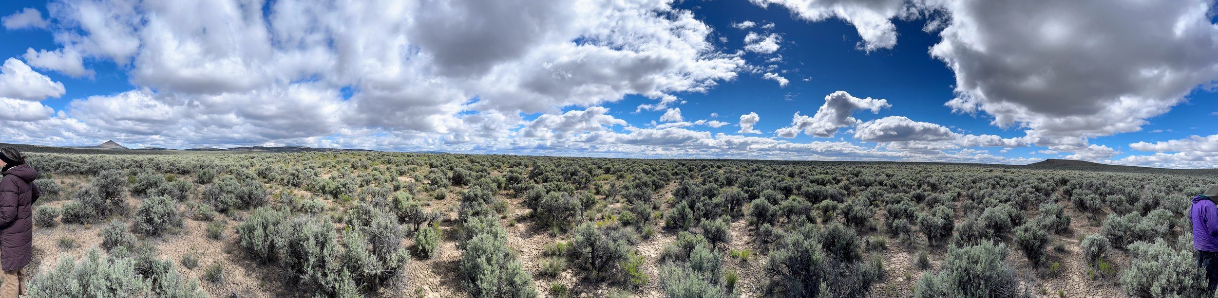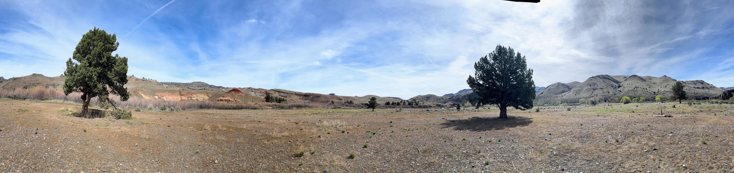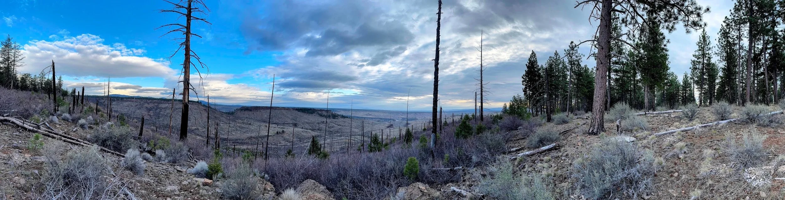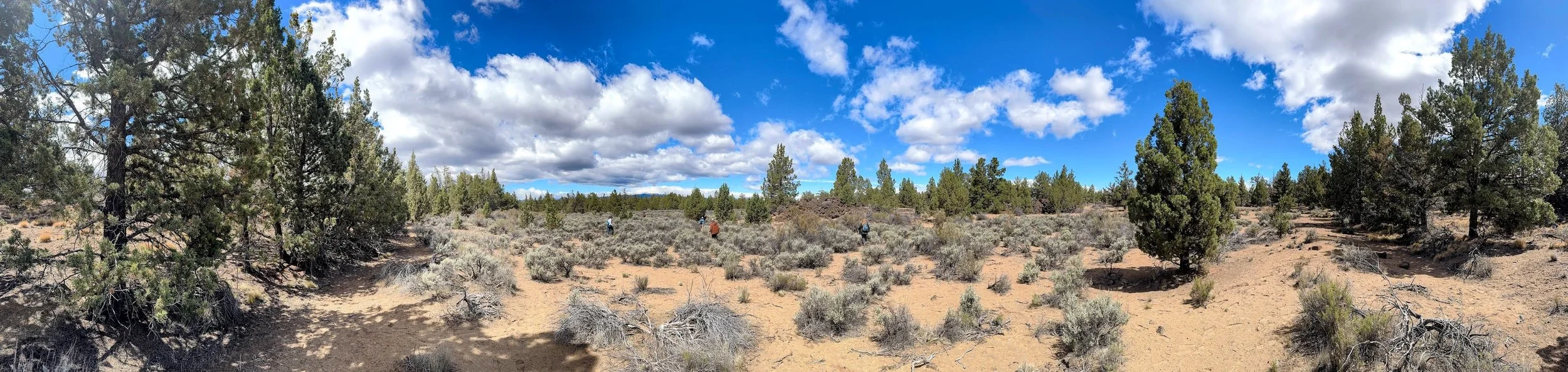
Panoramic of the old-growth juniper woodland I observed on a private preserve. Central Oregon. 2026
Looking up is a game-changer in an old-growth woodland. It’s like going from grayscale to full spectrum with a single head tilt.
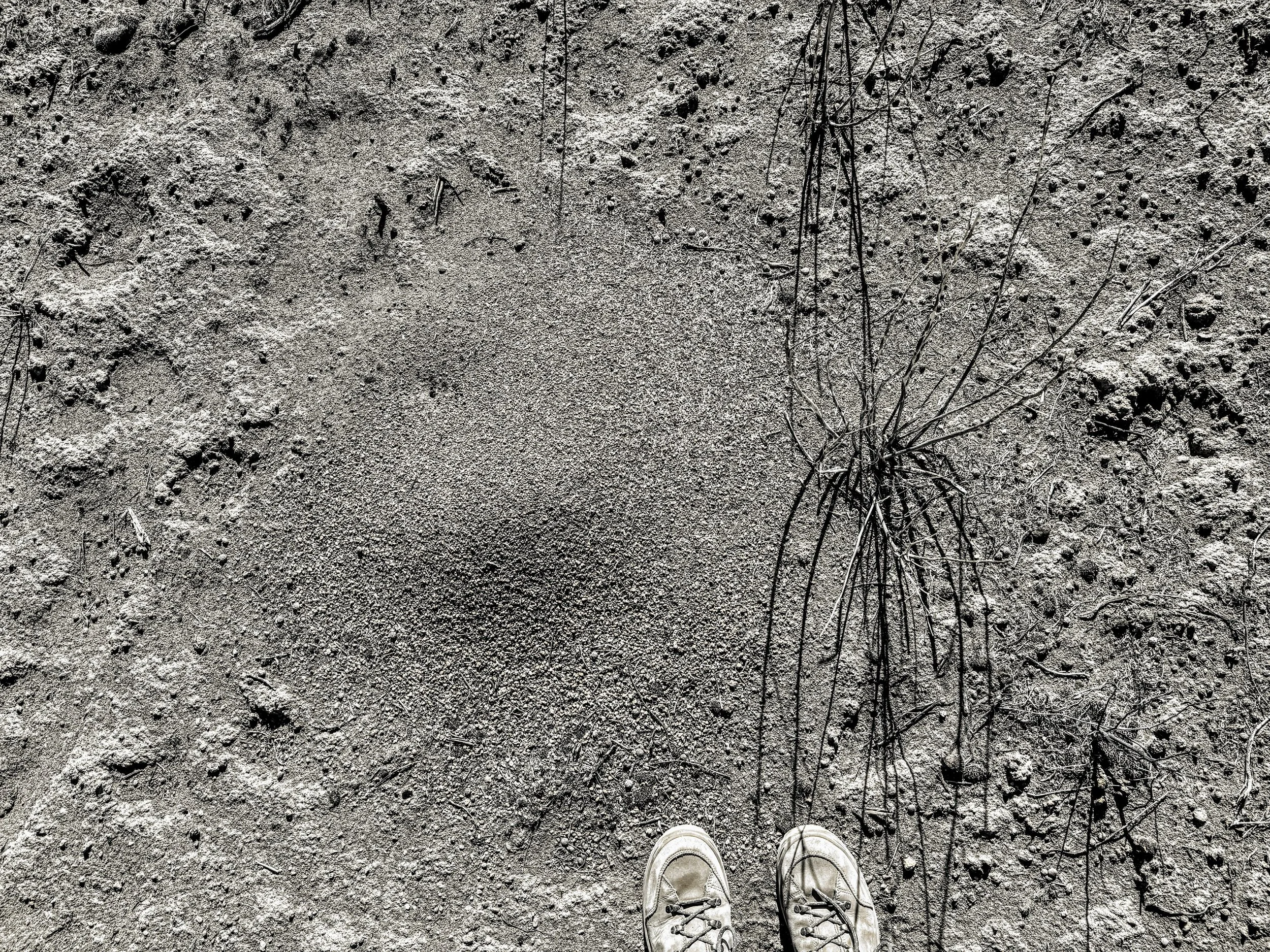
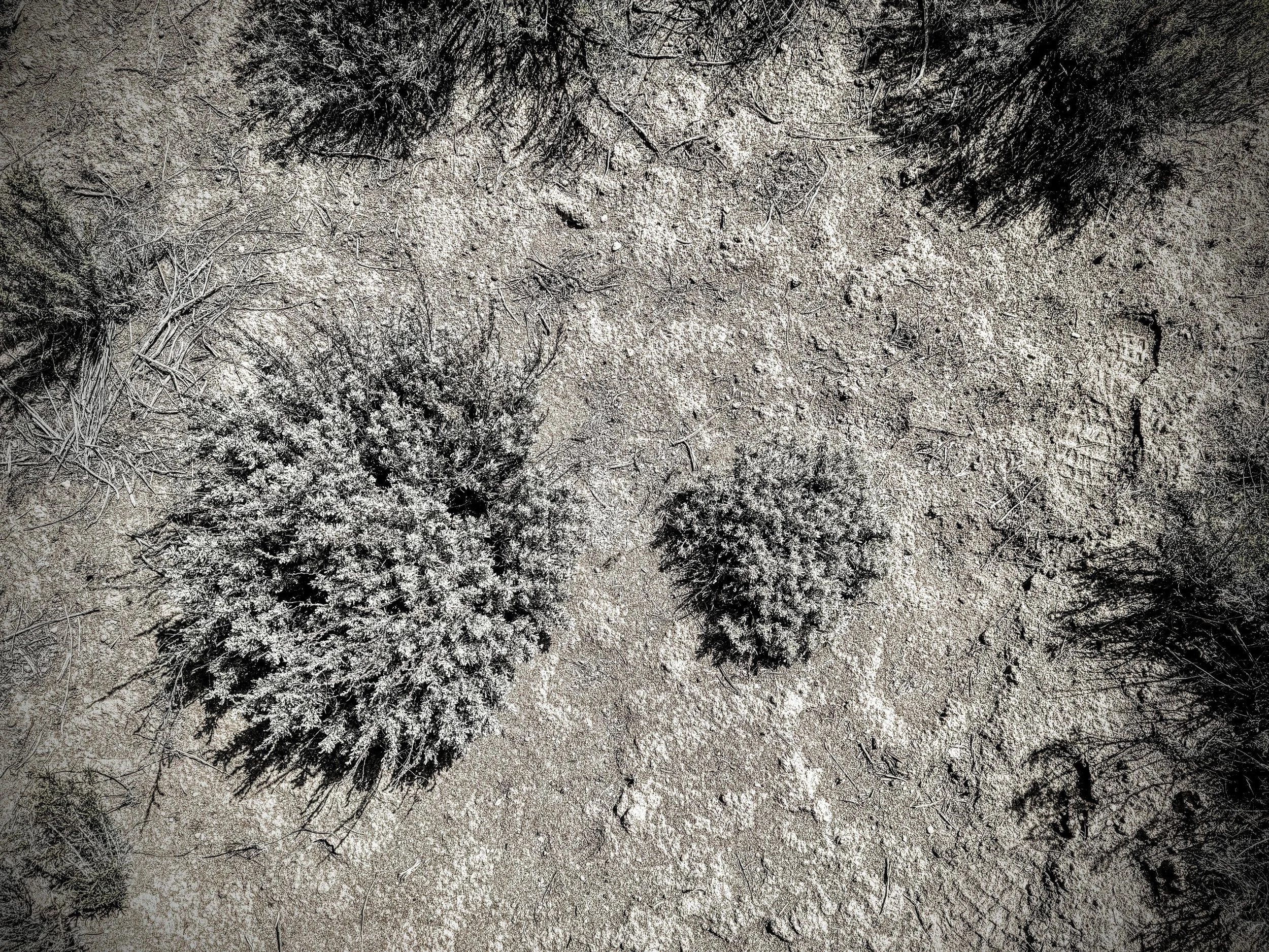
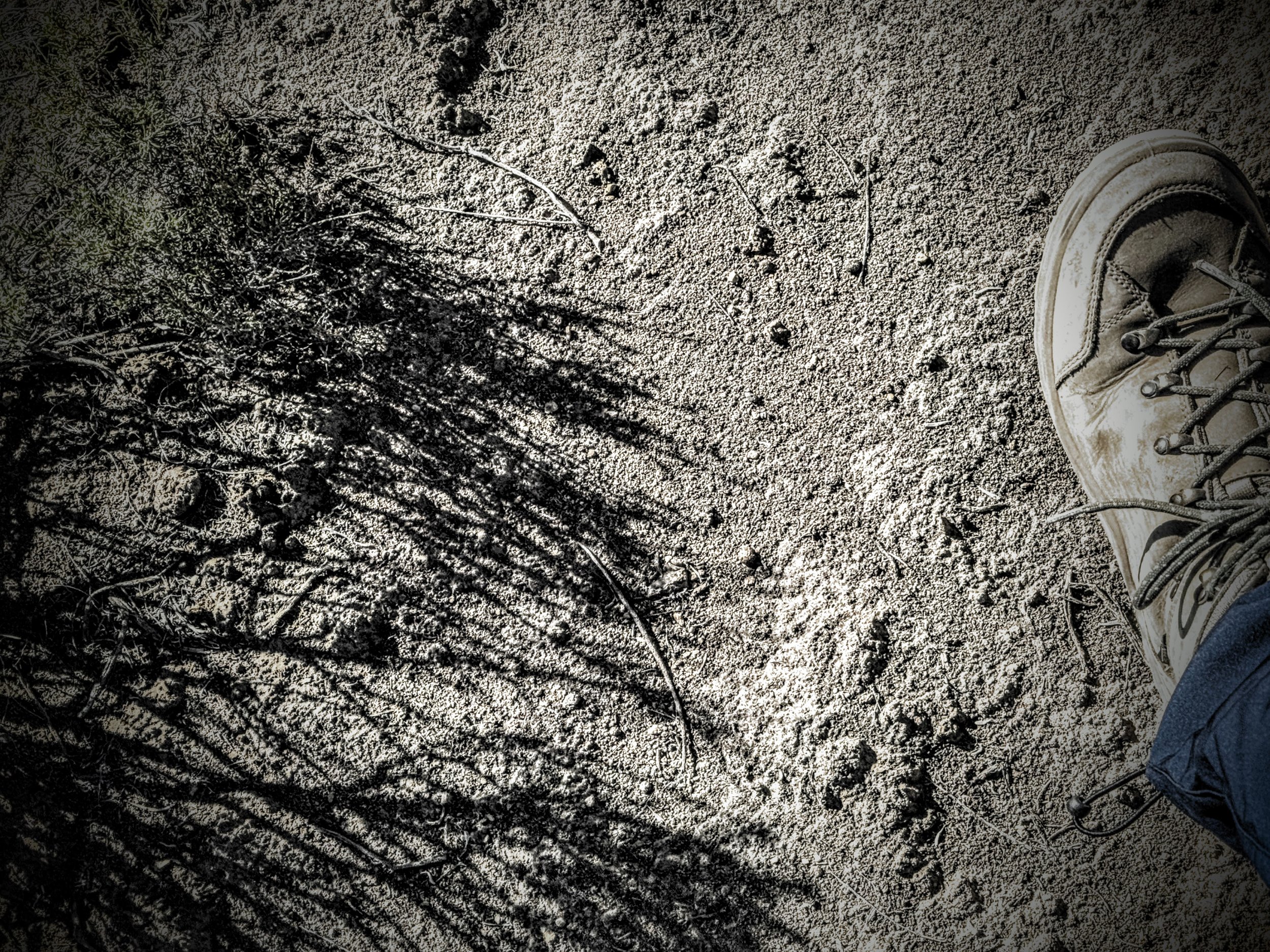
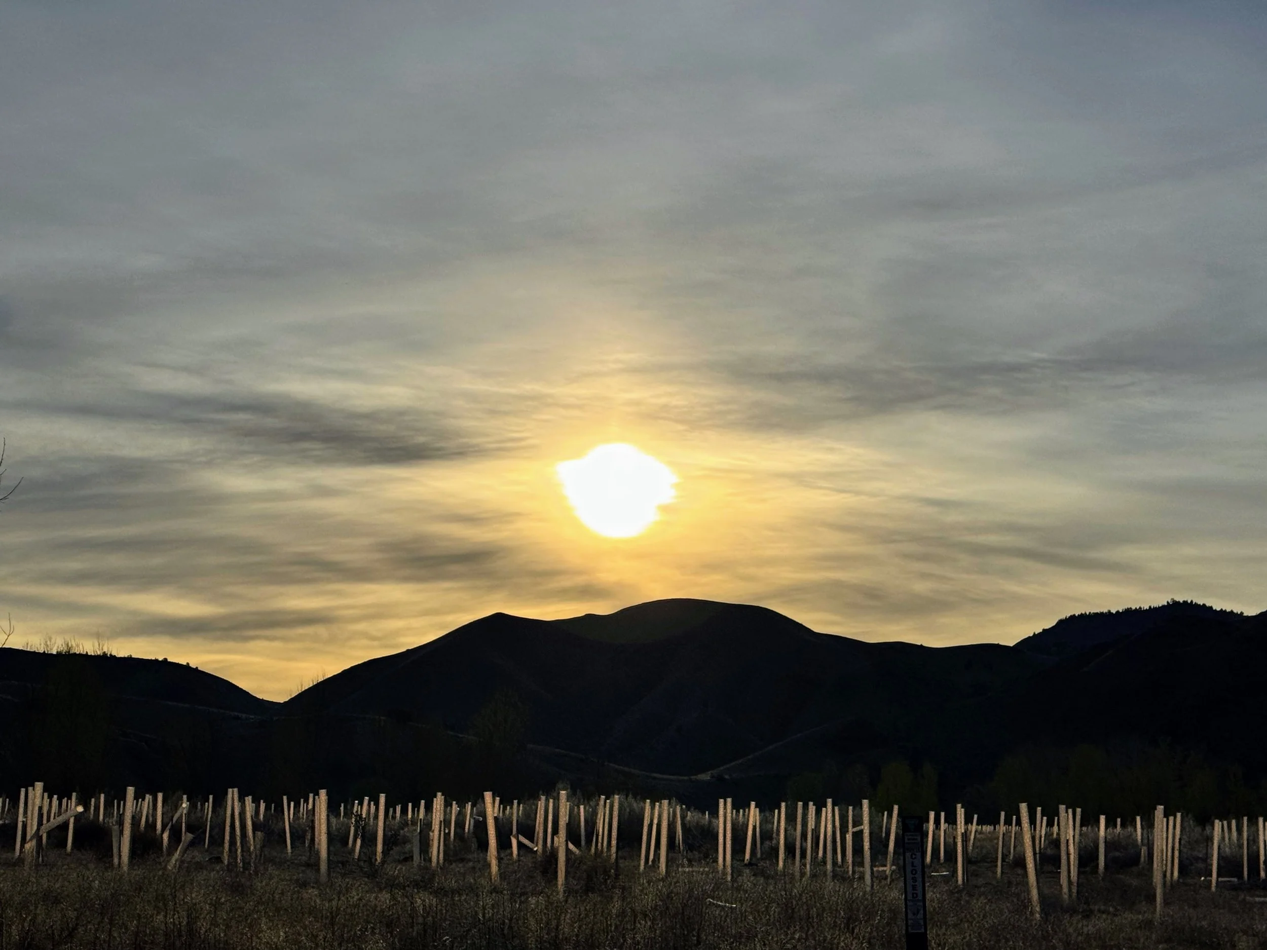
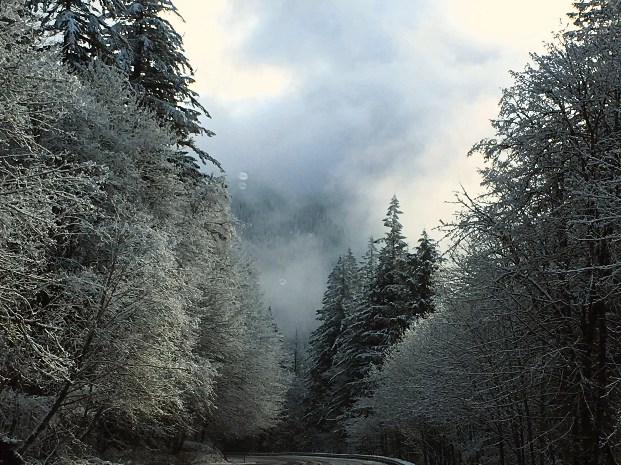
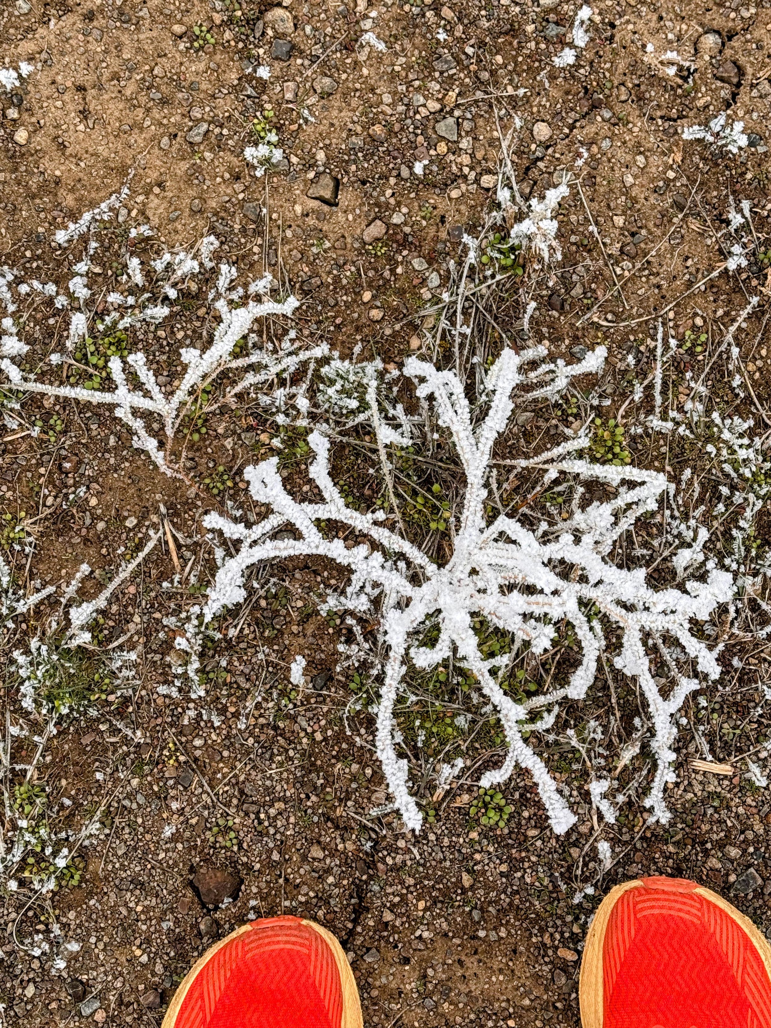
The land expresses itself through what it grows, what lives there, and what we take from it. Today, my only task was to observe this 40-acre preserve with a few others and a forester from Oregon State University. The woodlands of this juniper old-growth private preserve showed no disturbance history: no visible lightning or wildfire scars, untrammeled native grasses, and no invasive species (i.e., cheatgrass).
I. A Tree Unlike Any Other
The old-growth western juniper is an oddball among us, in the most endearing way. If Oregon’s big city slogan is “Keep Portland Weird,” then the junipers (Juniperus occidentalis) would be “Keep Junipers Wonky.” Unlike most trees, their age isn’t measured by height, but by their gnarly, twisting trunks and asymmetrical canopy shapes—the weirder, the older. Sometimes their branches resemble a Medusa-inspired wig.
Centuries of ill-advised factors like wind, drought, bark beetle, fires, and lightning wipe out many forests, but junipers lean into the disarray. They’re like, Yasss, we love drought and chaos; this is our home! They are the “get comfortable with discomfort” species in a semiarid ecosystem.
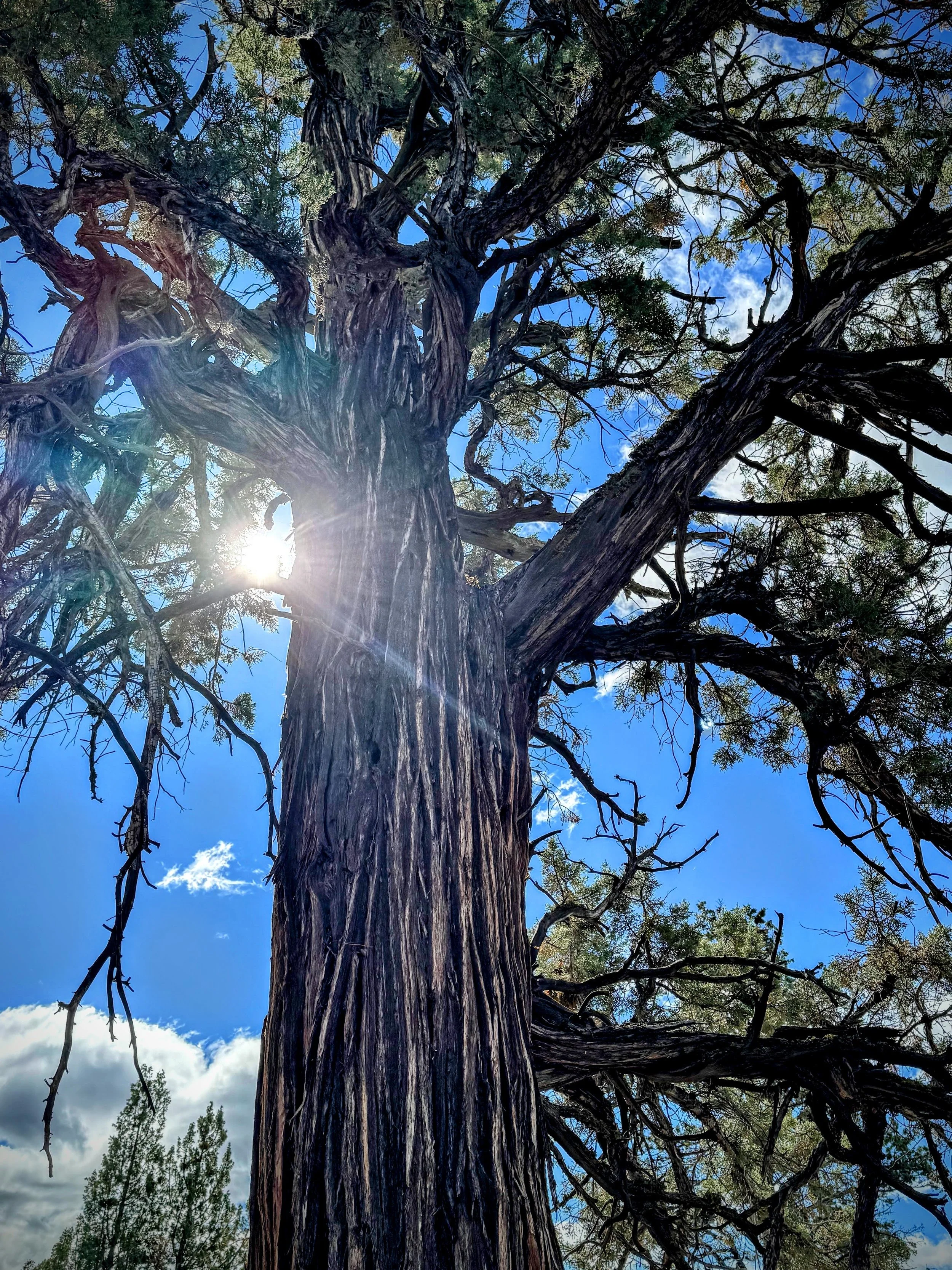
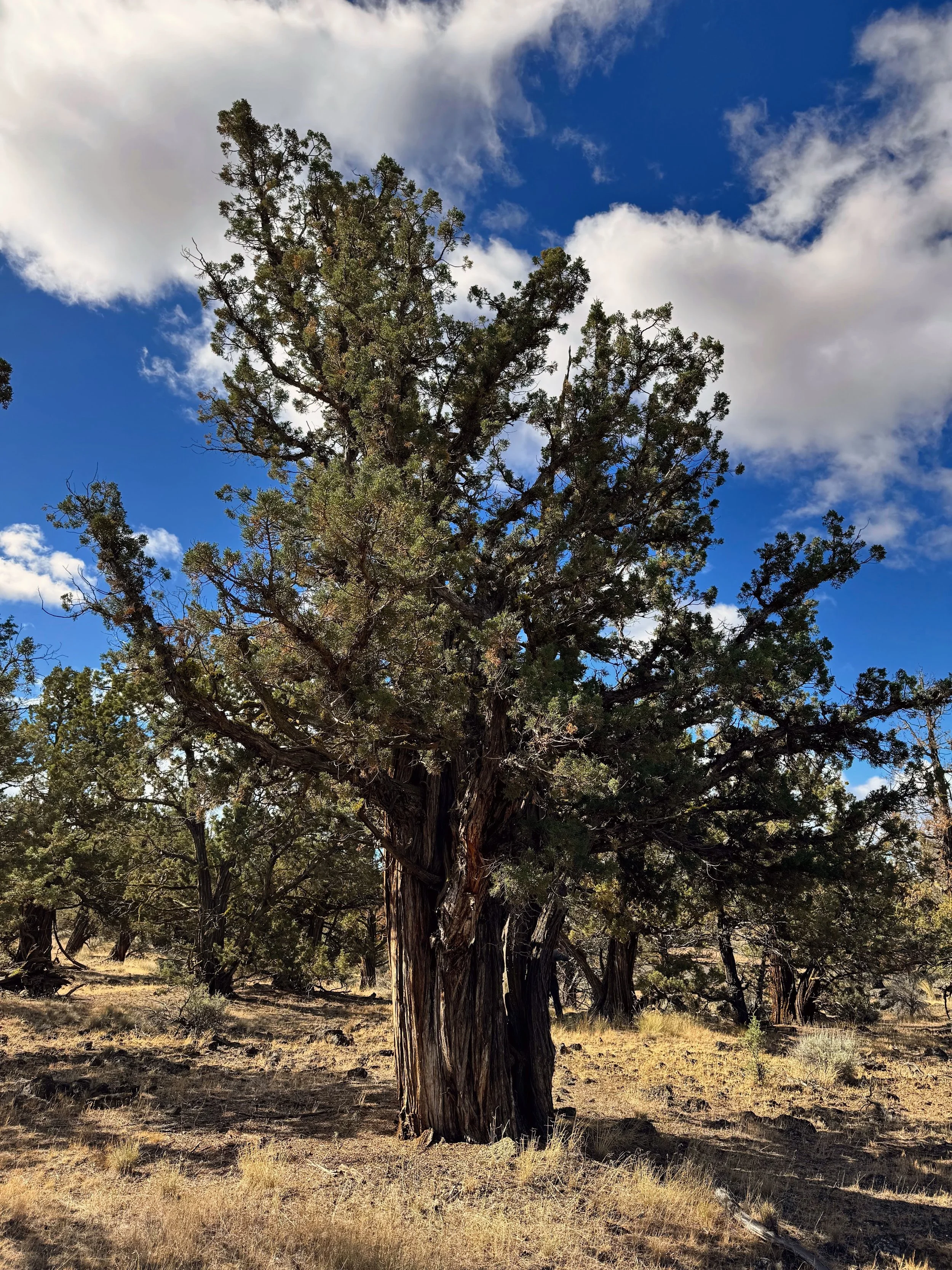
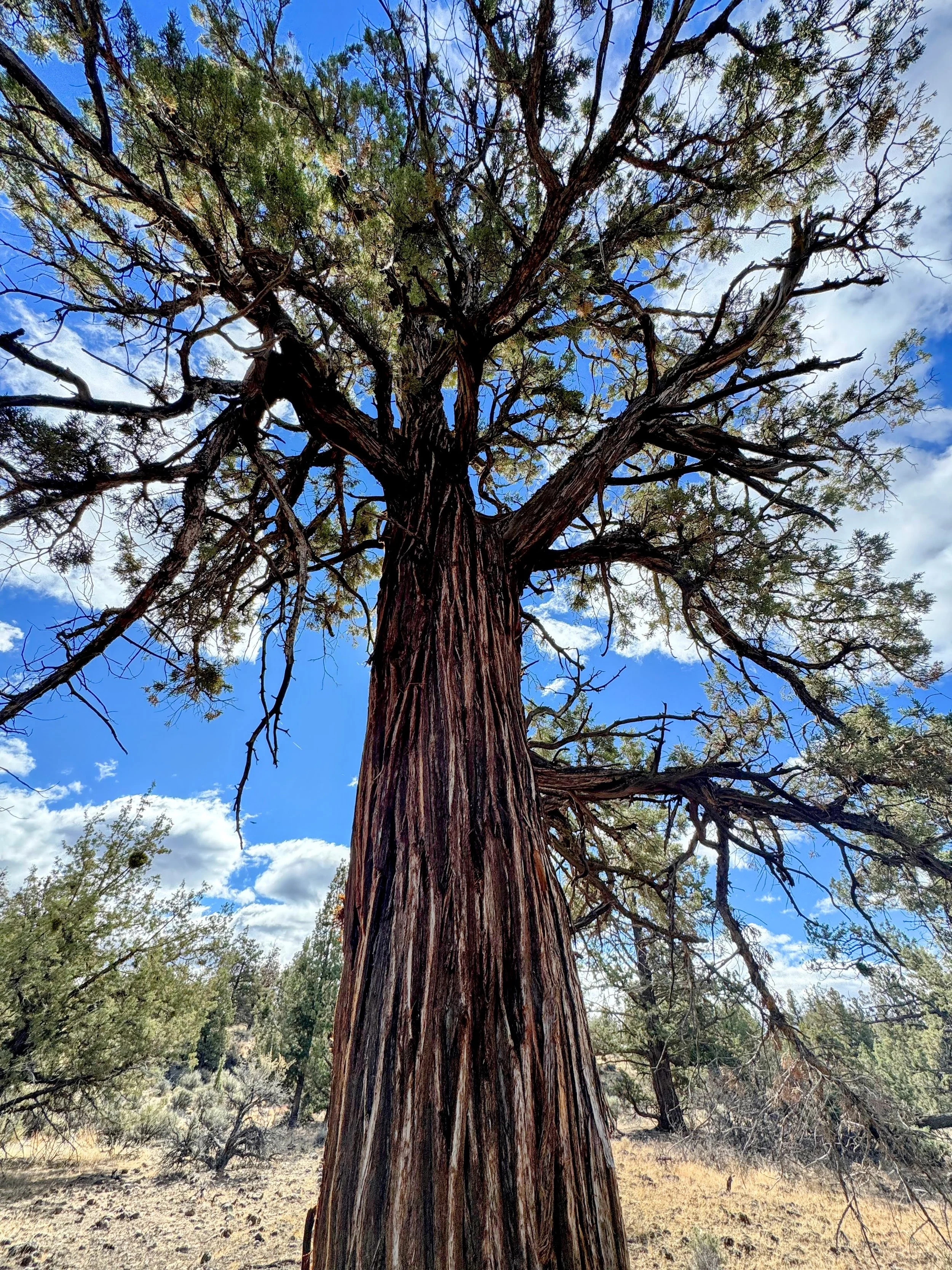
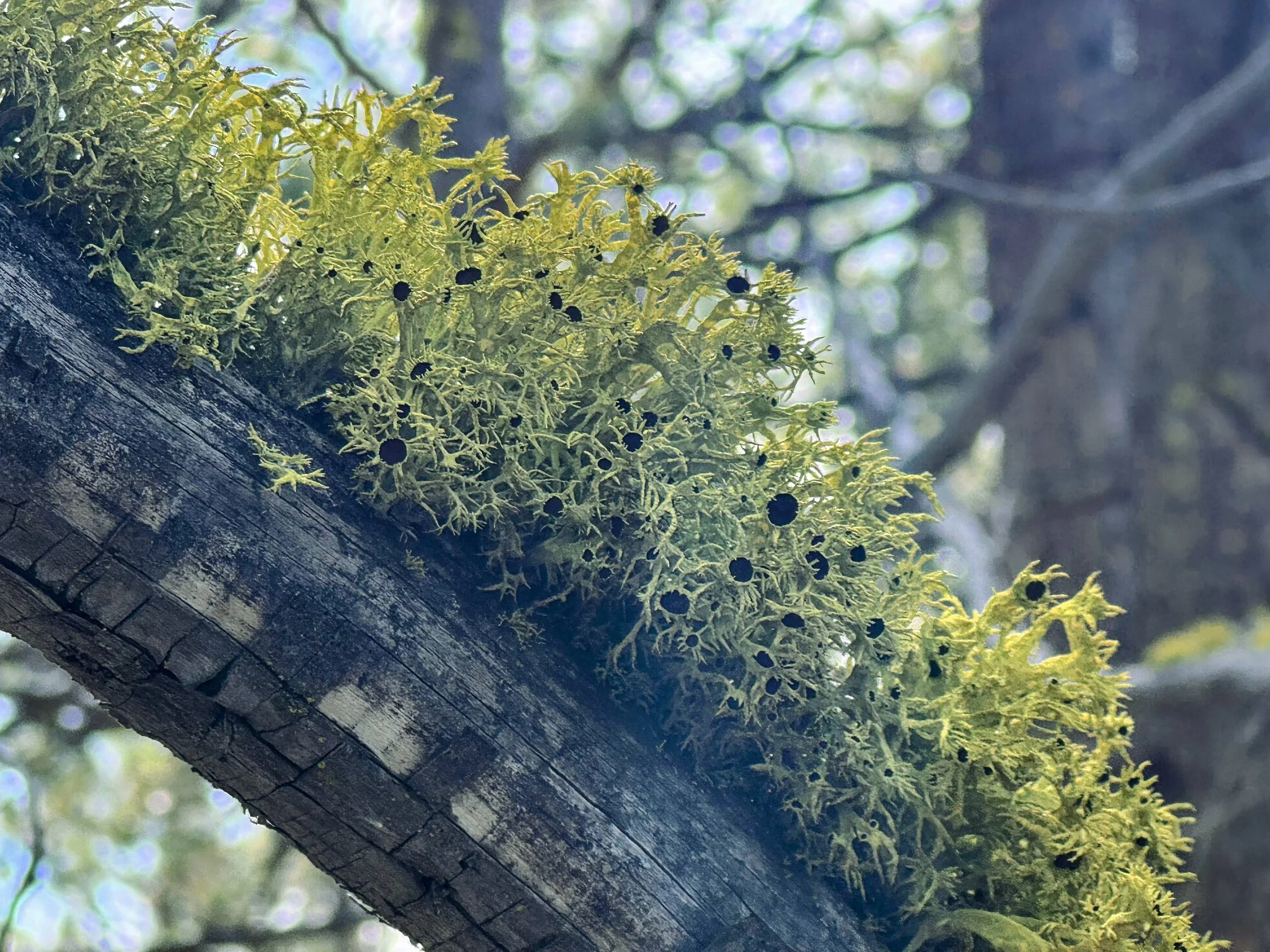
Caption: left to right - old-growth junipers (approximately 700 years old), as evidenced by (1) gnarly, asymmetrical canopy; (2) wolf lichen, and (3) furrowed, twisted, striated reddish bark.
——
II. Survival Strategies
Their slow accumulation over centuries isn’t just about survival. They thrive in places where other trees simply can’t make it.
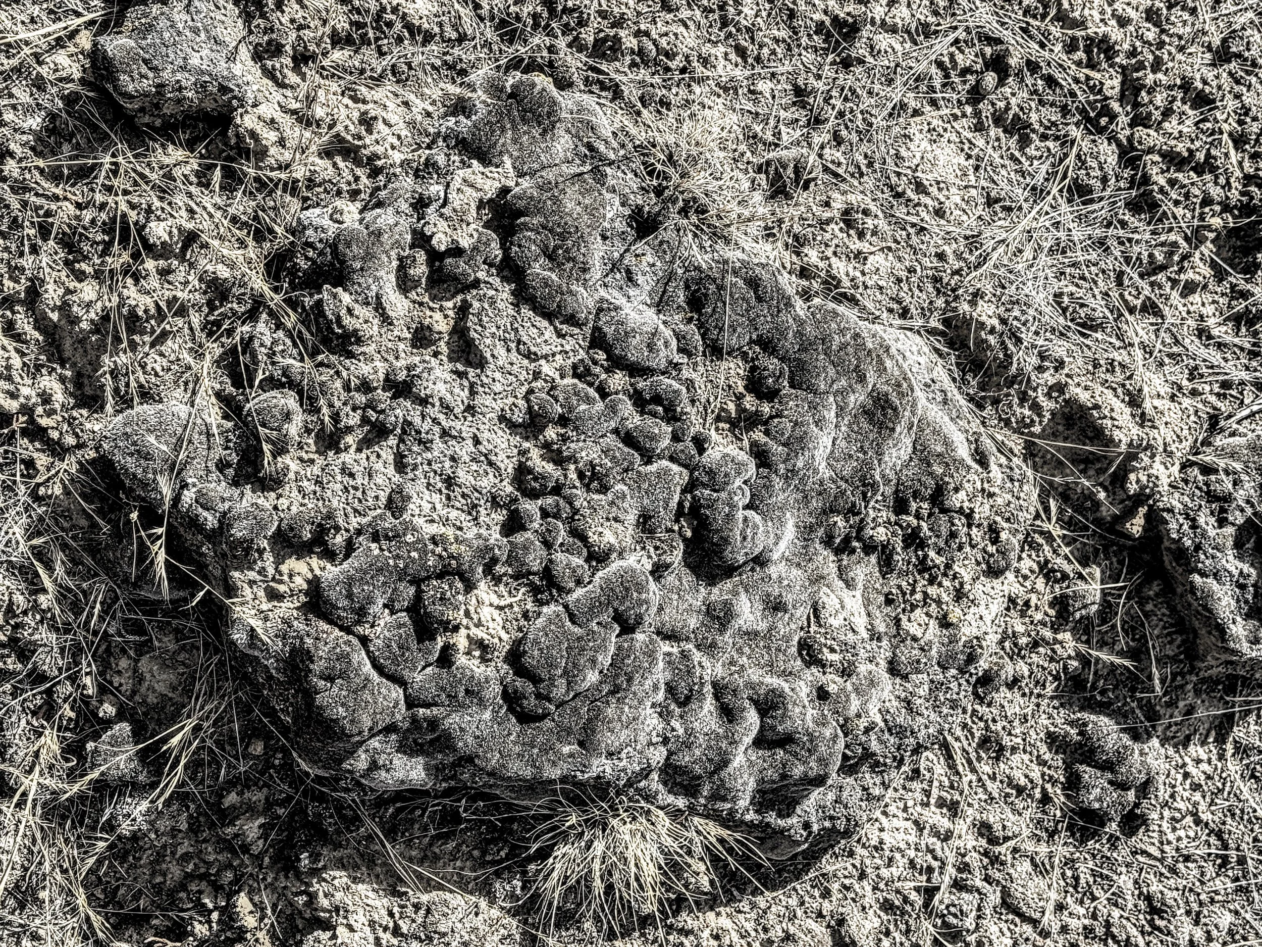
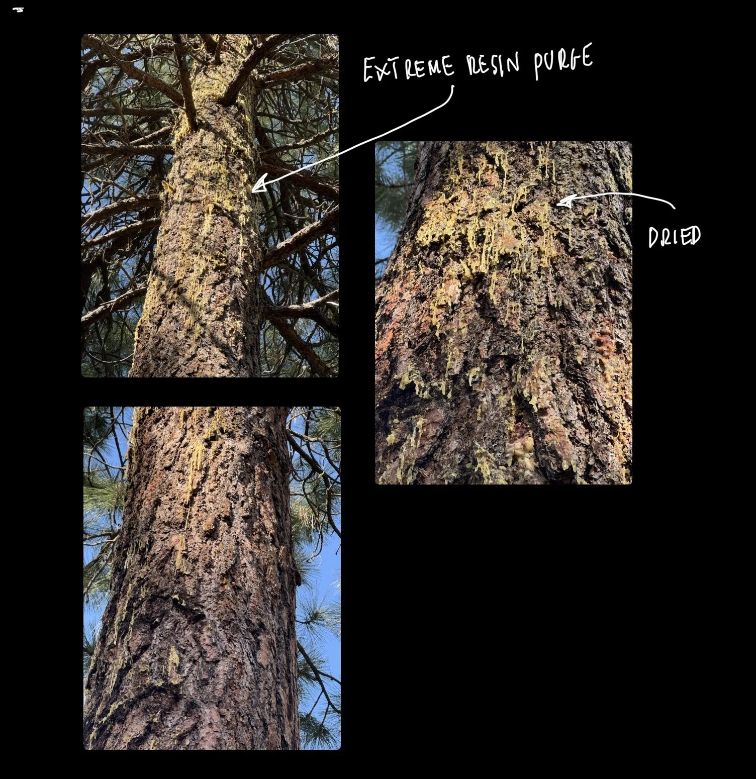
The older juniper’s bark texture is shreddy like brisket before it lands on a bun, and its color ranges from gray to cinnamon. Twisted branches ward off wind damage, and their seal-don’t-heal ability protects living wood from dead sections in the harshest conditions. It’s not uncommon to see deadwood and live wood coexisting on the same trunk—this is a snag-with-a-pulse. These stress responses benefit junipers and the wildlife that make homes in pocket rot.
Most of the old growth around us was 500-800 years old. For perspective, the USA is just celebrating its 250-year anniversary in 2026—happy birthday! Junipers have the oddities of wolf lichen, an arresting chartreuse shrubby tuft of bright color that’s metabolically alive on a silvery gray branch that is dead. The ability to be alive and dead, based on its internal hydraulic system, is known as juniper cavitation. Basically, the vascular system reroutes water around the dead parts to its thriving parts.
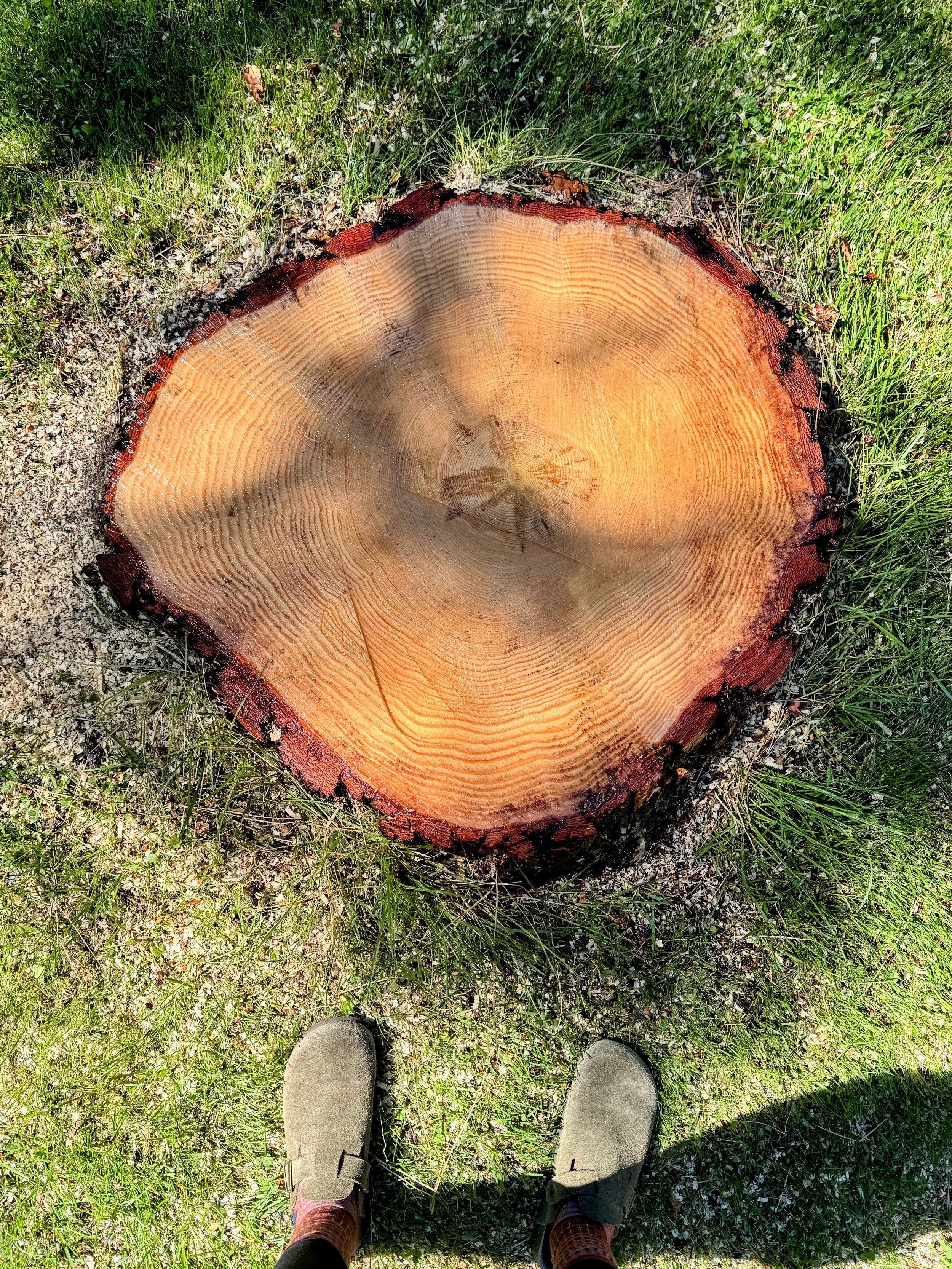
Sadly, junipers are vastly understudied because they haven’t been commercially viable, so few research dollars are invested in them. Their slow-growth accumulation produces dense wood that would probably break an increment borer if someone attempted a dendrological study.
III. A Living Legacy
In any region of the world, human development for humans creates a problem. “We” are not the only ones living here. Thankfully, some humans want to do the right thing and leave some land alone—wild in its own way—for future generations to observe and study. That is why I spent time on this toenail-sized piece of land, a private preserve surrounded by an expansive swath of developed, owned, and controlled parcels. On this private preserve were old-growth junipers, a species highly politicized as an elder or encroacher post-settlement (i.e., white folks seizing the land from Indigenous peoples).
Junipers, native to Oregon, have been around for thousands of years. The oldest is 1,600 years old, east of where I stood. They're an opportunistic species, however, pollinated by the wind and birds; they monopolize resources in an arid, rocky landscape at a certain elevation. They guzzle groundwater and hog drizzle with their canopy, so nothing grows below them. Land managers in cattle ranching disdain them because they use groundwater that native vegetation needs. Wildland firefighters frown upon junipers because their volatile oils burn hot and fiercely, making a wildland fire hotter and angrier. The Firewise neighborhoods encourage homeowners to cut down junipers to help raise groundwater levels.
They are a nuisance unless deemed old-growth (200-900 years old) or new old-growth (around 200 years old). The question is whether to leave the new old-growth or remove it; the forester said it was hotly contested among natural resources personnel. What we know is that they could be here longer than many more generations of us. They thrive in soil that barely qualifies as such.
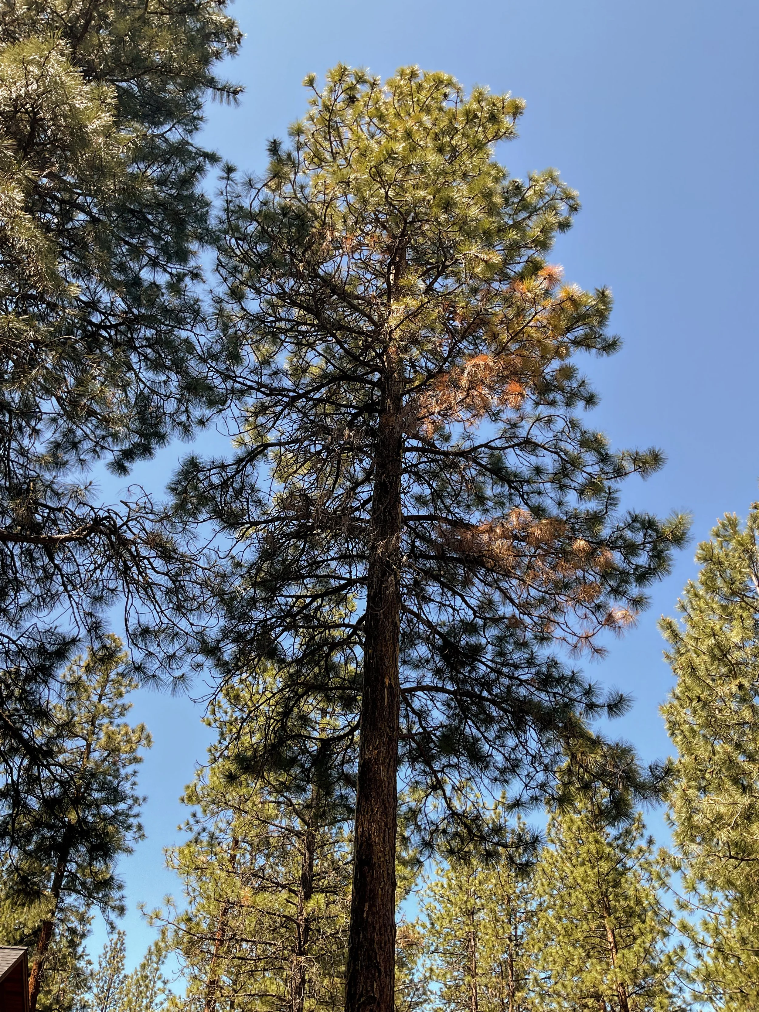
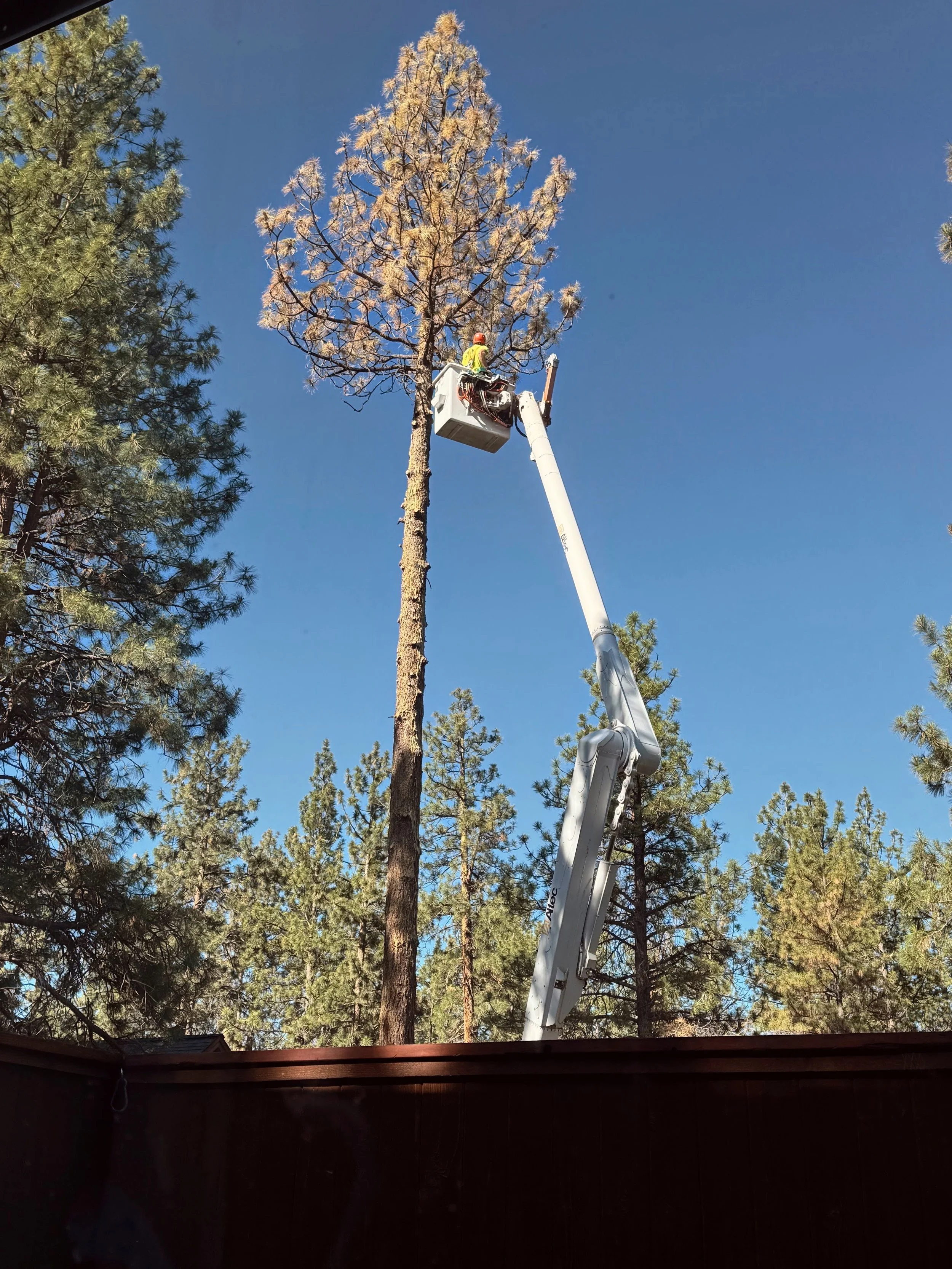
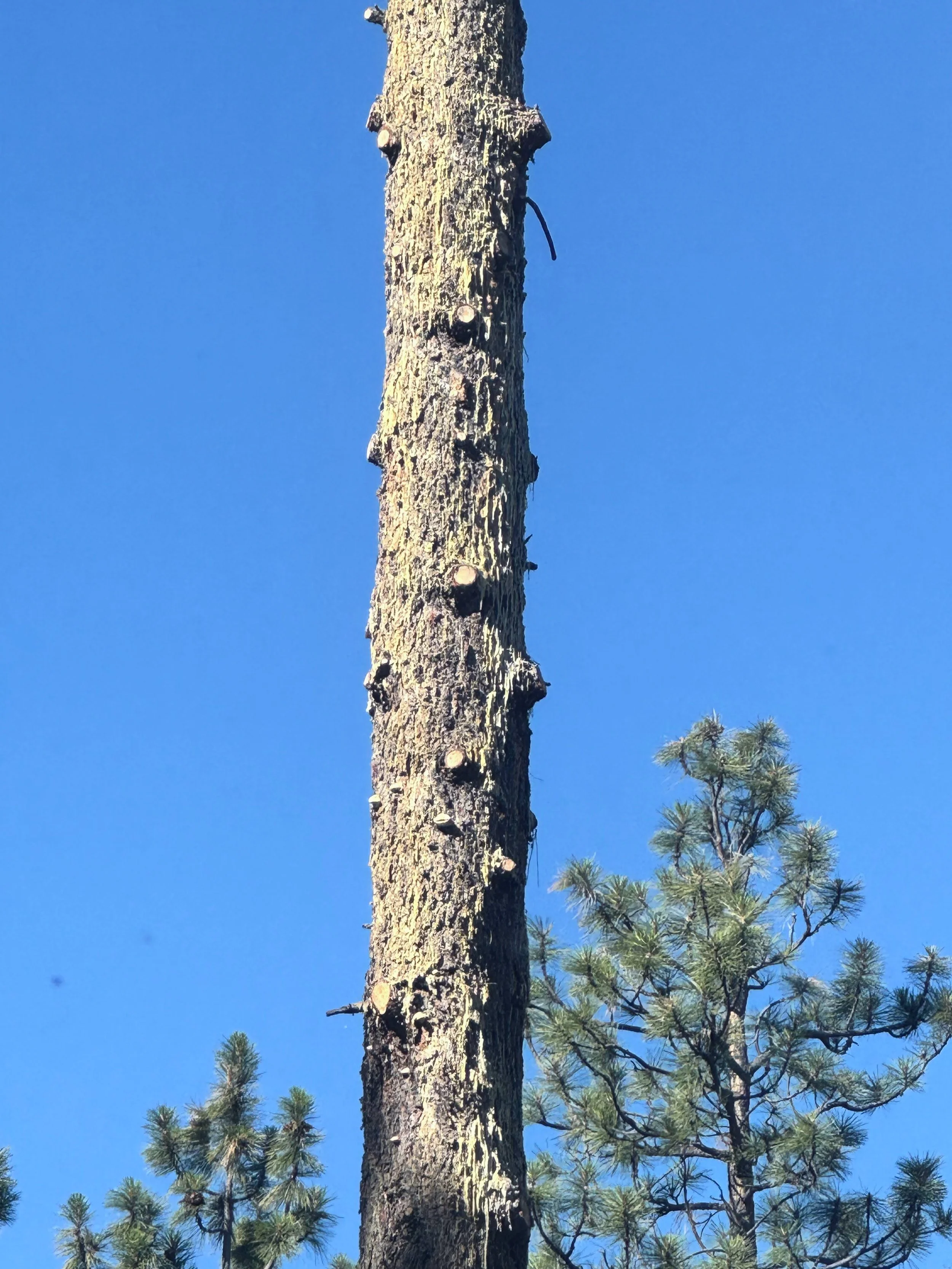
BONUS No. 01: A trail run cool finding of mine
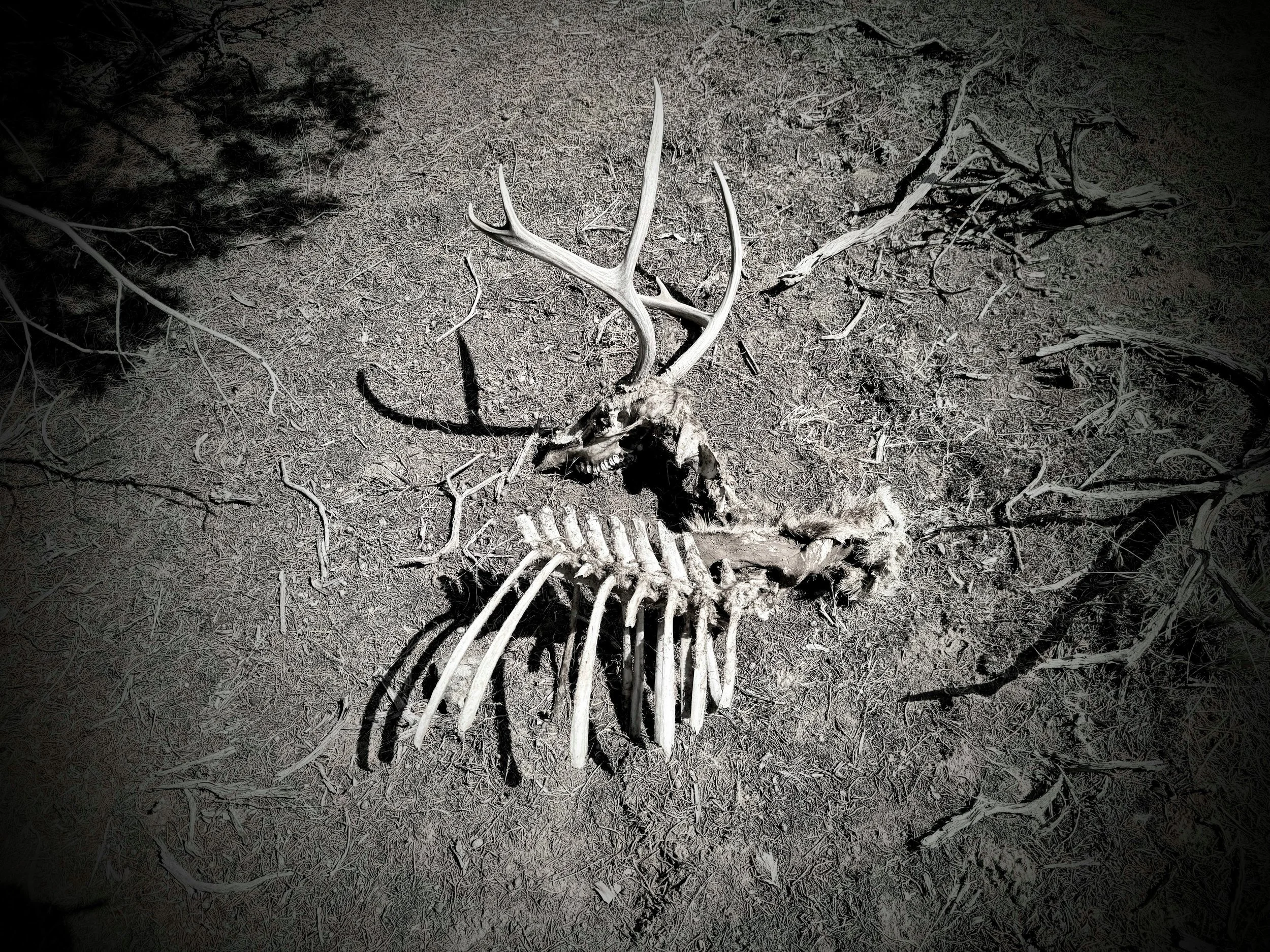
While trail running deep in a mixed conifer forest, this USFS Wildlife Tree tag stopped me (see photos below). A forester deliberately decided to retain this juniper during whatever management activity occurred in this area. It adds immense value to the ecosystem, rather than removing it. It’s a giant beauty that’s probably 900 years old.
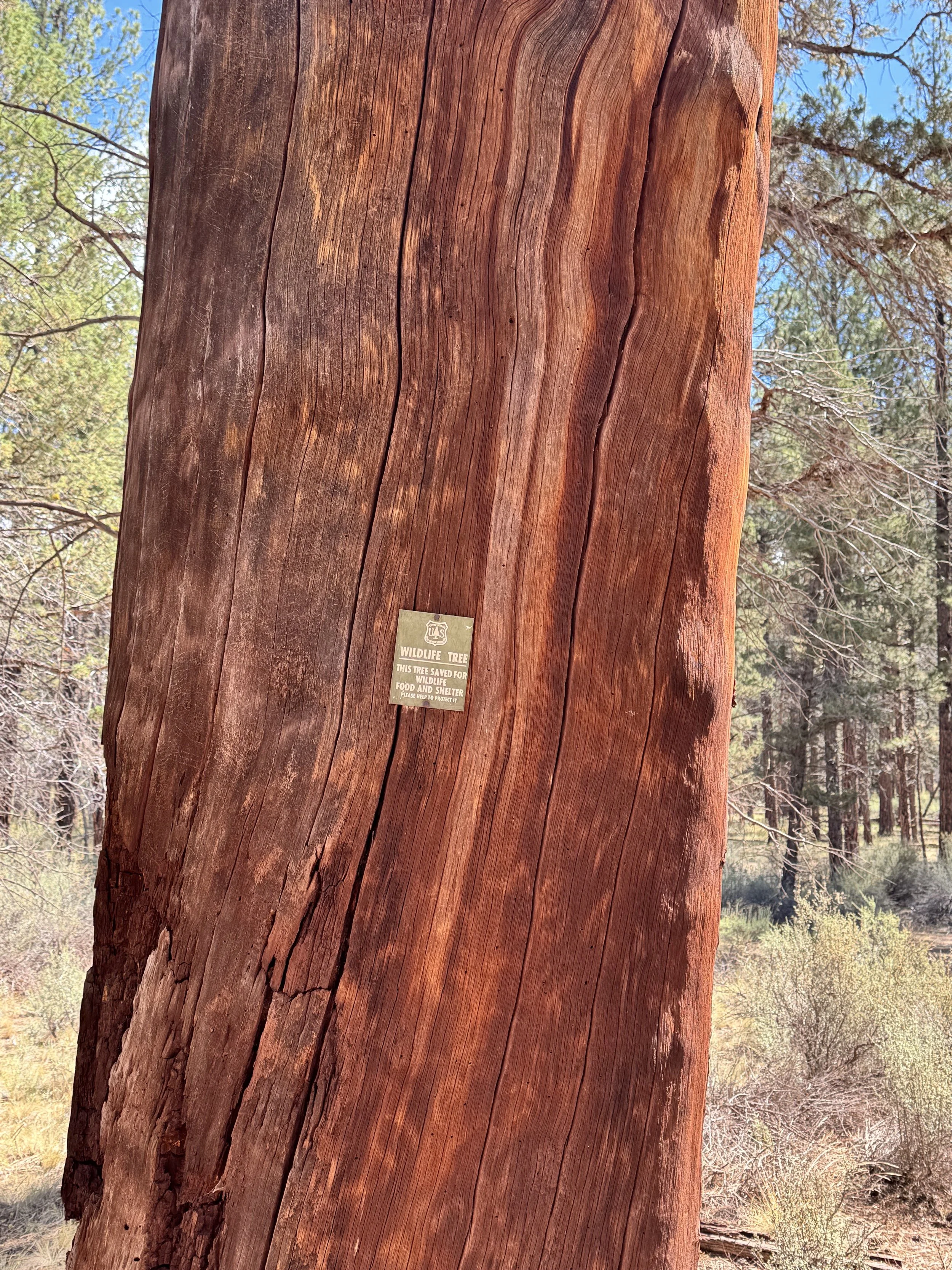
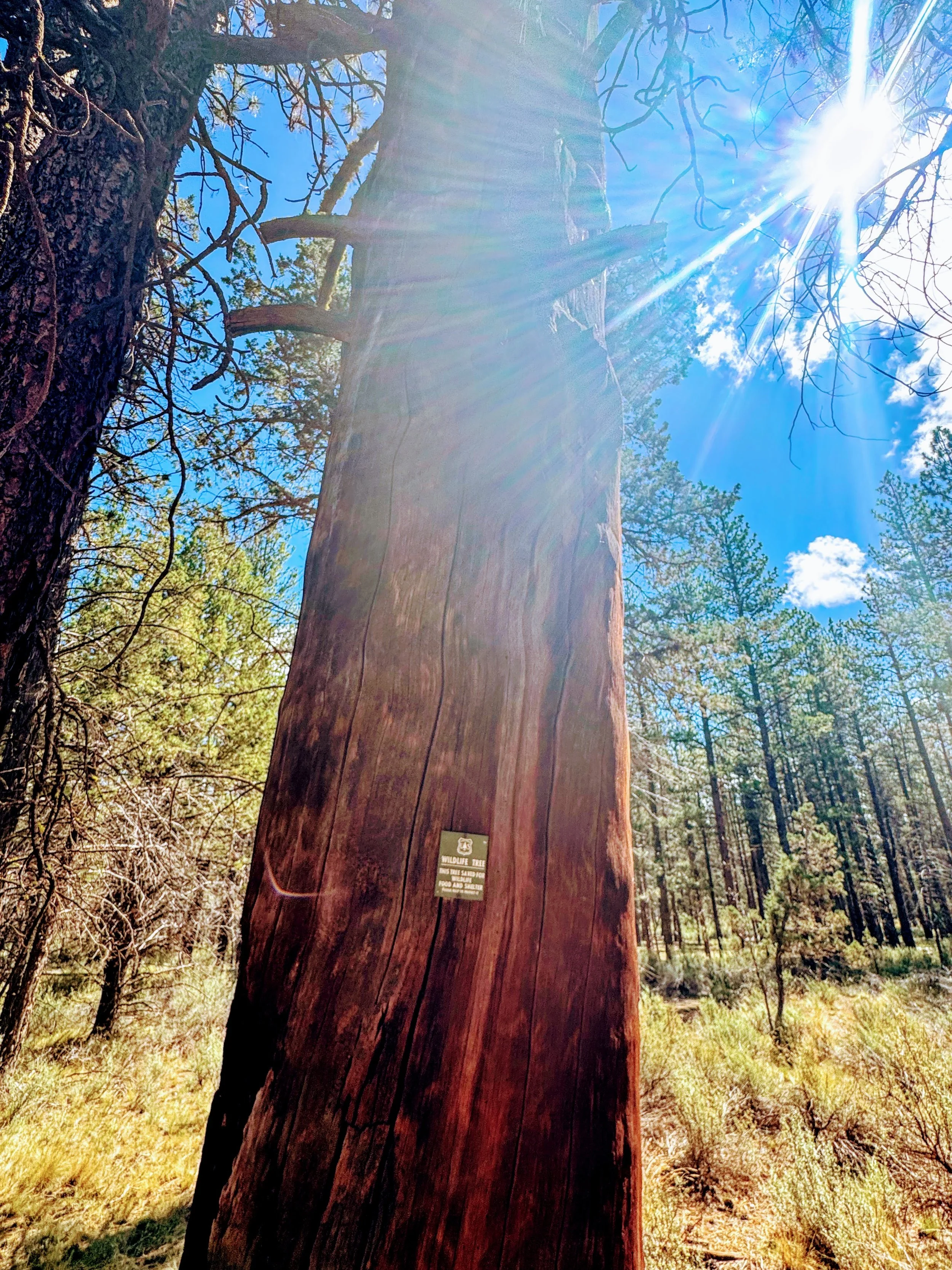
Caption: The US Forest Service designates certain snags and declining trees with these Wildlife Tree tags rather than removing them, precisely because standing dead and dying juniper provides irreplaceable habitat.
—-
BONUS NO. 02: Scholarly literature on junipers!
- Echohydrology study - Camp Creek Paired Watershed Study OSU
- Peer reviewed: Management of the Western Junipers